get going Mt. Wittenberg merde the flora panoramae all done
|
.
.
.
.
.
.
.
.
.
.
.
.
.
.
.
.
.
.
.
.
.
.
.
.
.
.
.
.
.
.
.
.
.
.
.
.
.
.
.
.
.
.
|
1998 Point Reyes
Sunday 16 August 1998
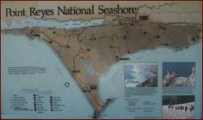
Point Reyes National Seashore, in Marin County, a few miles north of San Francisco, is a beautiful stretch of California coastline preserved for hikers, birders, and picnickers. This is a photo-journal of the trip we took today.
- Getting to the Bear Valley picnic area from San Francisco
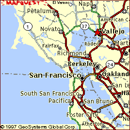
- Cross the Golden Gate Bridge. Set your trip odometer at the north tower. Continue on 101 North.
- After 10 miles take the Sir Francis Drake exit. Head west, under 101.
- Drive for 21 miles, through the towns of Kentfield, Ross, San Anselmo, Fairfax, past the Spirit Rock Meditiation Center, through Forest Knolls, Lagunitas, Jewell, and the Samuel P. Taylor Park. The road ends. Make a right onto the Shoreline Highway.
- After a half mile you'll see a big red barn to your left. Make a left onto Bear Valley Road. The visitor's center is just up the road.
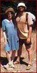
 About three-quarters of an hour north of San Francisco, across the Golden Gate Bridge, is an amazing place. We come here annually, at least, for Ed's Huckleberry Hike (to pick the berries as they become ripe; then we make fresh ice cream and have a potlatch feast).
 Directions: 101 North, over the bridge, pass San Rafael, take the Sir Frances Drake Boulevard exit. Go under the highway (westward) and continue on the winding road, through traffic lights, until you reach a dead end. Make a right turn, and then the first left (after about 50-100 feet). Drive a half-minute until you see the big red bard; another left, park at the Bear Valley visitor's center, get out and stretch.
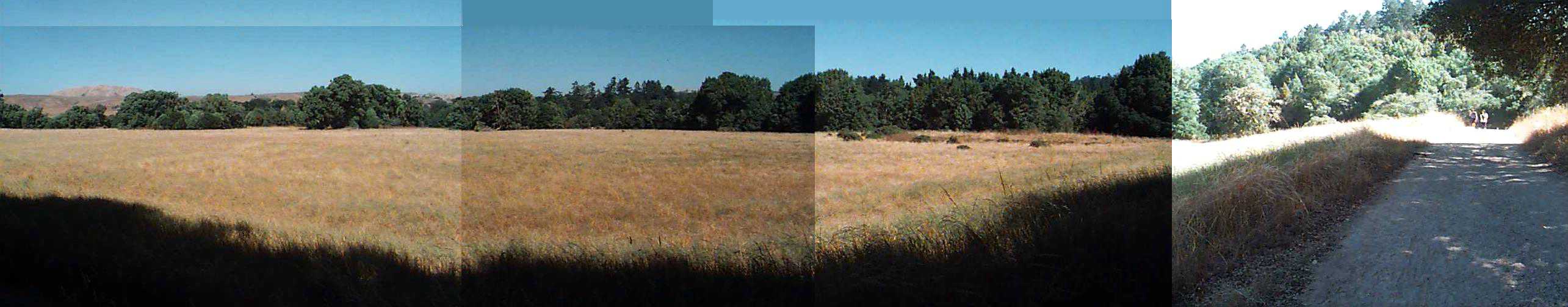
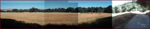
I'll spare you the pictures of the parking lot, and of the visitor's center, and start with a panorama of the trailhead.
 It's time to head up and up, towards the summit of Mt. Wittenberg.
|
 subscribe